One of the most recurrent questions of our guests is what hiking route we recommend in Lires (municipality of Cee).
As you know, there are several trekking routes that you can do in our village, but today we are going to tell you about the one that is perhaps our favourite: the Roteiro Meigha Lirea.
The Roteiro Meigha Lirea is a circular trekking route of 9 kms, a duration of 3 hours and medium difficulty.
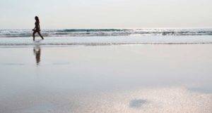
It is a quiet hiking route, which makes it even more attractive. The breathtaking views of the sea, coupled with the close link that forms between nature and the walker enjoying the landscapes of mountain and sea so characteristic of Galicia, make our guests define it as one of the best hiking routes along the Coast of Death, therefore, one of the best routes between Fisterra and Muxía.
We assure you that if you do it, it will not leave you indifferent. It also has the advantage that it is a route with the ideal duration for you to be able to do it easily during a morning or an afternoon.
The symbols of the Meigha Lirea route are wooden posts with green and red indications. The green arrows indicate the outward route, and the red arrows indicate the return route.

The route, basically, is divided into two: a first section of low difficulty that runs along a path through the mountain, which partly passes through the stage 5 of the Way of Fisterra and Muxía. And a second section, of medium-high difficulty, which partly passes through the Lighthouse Way (or The Camino dos Faros) in its stage number 8 from Nemiña to Cape Finisterre.

The route begins in the area of the bridge that leads to the beach of Lires, under the square that is located in front of the church Santo Estevo de Lires. We can identify the beginning of the route with an informative sign about it.

We start our walk crossing the old bridge called Ponte Vella, which is part of the ancestral sacramental way.
We go up a mountain track until we reach a clear area from where we can see the ocean. We continue straight on until we reach Pedra da Camposa, where we will find a fork where there is an informative sign of the route. We must take the path on the left, leaving on the right the paths that will lead us back to the coast. In this section we will enter a mountainous area, mostly between pine forests.

We will find the signs of the Camino Jacobeo de Fisterra and Muxía, and we will follow the path towards Fisterra, until we find a detour on the right hand side just before reaching the first village called Padrís. We take the detour and continue through the area marked by the posts of the Meigha Lirea.
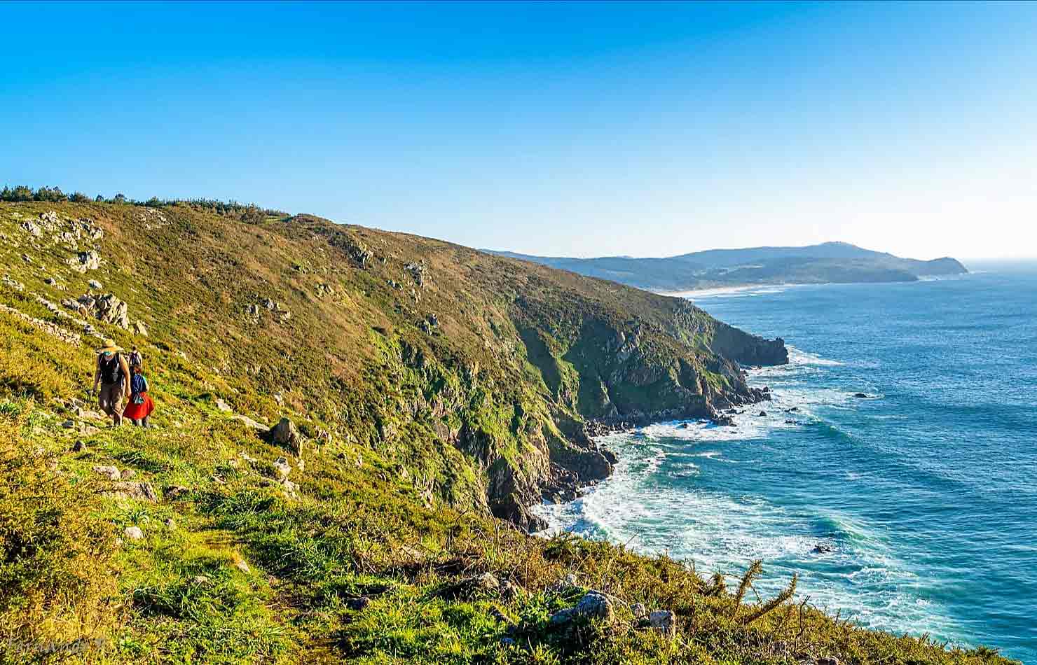
After crossing the mountain trails we will glimpse the sea on the horizon. And it is here where the route becomes circular, finding on the left hand side the viewpoint of Pedras de Padrís, where we recommend you to make a stop on the way and enjoy an excellent panoramic view of the extensive beach of O Rostro.

We continue along the coast. We are in the second part of the path, which runs mainly along the edge of the sea, and in which a part is shared with the Lighthouse Way.
In this section, and after a new information sign, we discover what for us is the crown jewel of this route: the Mexadoira waterfall (also known as Mixirica), a small freshwater waterfall that falls directly into the sea. Here we can take the opportunity to refresh ourselves in the stream, and rest while we observe the ocean views flanked by O Petón Vermello, a rock in the middle of the sea.

We continue along the coast, passing cliffs, such as Punta do Narís, known by this name because of its resemblance to our appendix on the face, and where again we will find an informative sign.
We continue our way, bordering the cliffs. When we begin to descend we are already close to Lires, meeting in front with the two hidden coves of Lires: Area Grande and Area Pequena. We ascend along a dirt and mud track until our sight reaches the beach of Nemiña, well known by surf lovers.
We go down the hill and we find the beach of Lires.

Now we just have to walk along the banks of the Lires estuary, known for being the smallest estuary in Galicia and for its ornithological richness. This will take us back to the starting point of the hiking route Meigha Lirea.
LIRESCA’S TIPS:
- If you arrive in Lires by car you can park at the very beginning of the route, in the surroundings of the bridge that crosses the river from the village to the beach of Lires.
- It is likely that on the return stretch you will encounter some impassable area because of the undergrowth, but don’t worry, follow the path marked by green dots and arrows on the ground. This is the Lighthouse Way that will lead you back to the Meigha Lirea route.
- Although the route is not very long you should take some water with you. You might as well take something to eat to replenish your strength. We remind you that in LiresCa you have the option to order your picnic to take away.
- If you suffer from vertigo, you may not have a very good time on the return stretch, since there are sections that pass through cliff areas.
- This is not a bicycle route. The return section carries its difficulties as it passes through narrow paths and uneven terrain. If you want to do a bike route through A Costa da Morte we recommend others routes.
- The route is signposted, although it is always advisable to take a GPS. Here we leave you the link to the: Wikiloc of the Meigha Lirea Route.
- As usual, you shouldn´t forget the essentials of any route: high trekking boots (if it rains or has rained, they must be waterproof), long pants, hat, sunglasses and sunscreen. And a lot of desire to enjoy the trail!
- If you want to stay in Lires to sleep or eat, we suggest you visit: Liresca.com. At LiresCa will be happy to inform you about this and many other routes of A Costa da Morte.